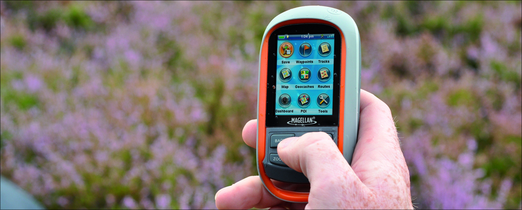
This 1-day course introduces basic land navigation through the use of a hand-held GPS (Global Positioning System) unit.
Cost
$85.00 per person | Refund Policy
(If a facility can be obtained at no cost, the course cost with will reduced accordingly.)
Registration
Subscribe to our mailing list to be notified about upcoming courses.
We require a minimum of 6 people with a maximum of 12 people. The deadline will be 7 days prior to the start of the course.
Prerequisites
There are no prerequisites although some map and compass skills would be helpful.
Objectives
- To acquire a fundamental understanding of GPS technology.
- To field test a GPS unit in a group setting.
- To enhance map reading skills to include GPS technologies. Hike leaders will want these skills.
Content
Participants will learn how a GPS pinpoints location. You will be introduced to waypoints, tracks, routes, map datum and operational features. There will be practice using a GPS in an outdoor setting.
Format
The first part of the class will provide students with an understanding of what GIS is and what it does. The second part of the class will provide the students with some experience performing basic operations using a GIS application in an outdoor setting.
Course Length: 6 hours
Assessment: Classroom participation: How will you use what you learned in this course?
Resources Required by Participants: Participants are encouraged to bring your own Garmin GPS unit.
Materials Provided:
- Hike Ontario provides a limited number of Garmin GPS units for in-class and field use. (Instructions are standardized for Garmin Systems.)
- Hike Ontario will provide all handouts in an electronic format prior to in-class sessions. Participants are encouraged to use their personal electronic devices during the classroom sessions to download HO data.
