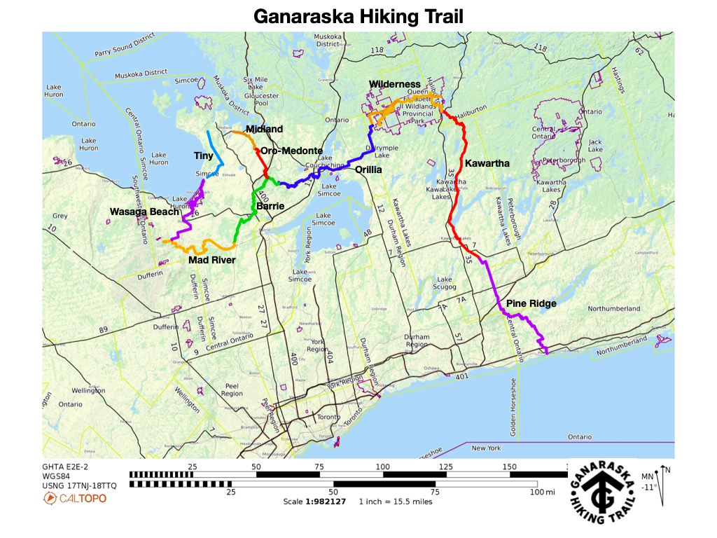
Orillia, Ontario — The Ganaraska Hiking Trail Association Inc. is extremely pleased to announce the launch of a new Trail Guide that will complement the Ondago mobile app maps of the Ganaraska Hiking Trail. The new maps offer much more detail and are a far cry from what used to be just a “red line on a map”.
The new Trail Guide, with downloadable and printable maps and trail descriptions, have been posted on our the Ganaraska Hiking Trail website.
The Ondago mobile app and the associated maps can also be downloaded for free from https://igloocreations.com/en/download/ to your mobile device and then search for Ganaraska maps.
Together, the two map options — the Trail Guide and Ondago maps — provide hikers with all the needed detail to be useable as a navigation tool in the field in whichever format they choose, to learn about and enjoy the approximately 500 km long Ganaraska Hiking Trail from end to end.
For more information, see The New and Improved Trail Guide.
Happy hiking!
Frieda Baldwin
President
Ganaraska Hiking Trail Association Inc.
705-245-1005
president@ganaraska-hiking-trail.org